Hill of Stake
-
_2.jpg)
Hill of Stake and Misty Law looking south across the Queenside Muir -
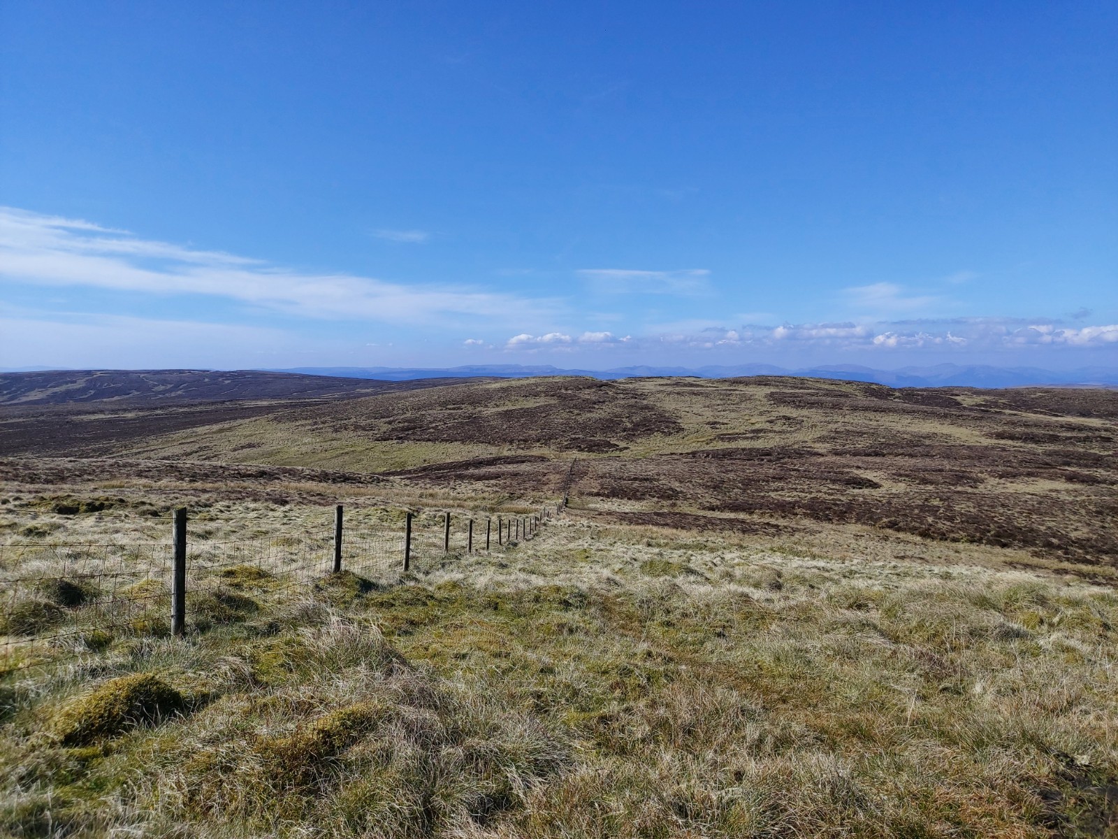
Facing north-west towards North Burnt Hill & the highlands from Hill of Stake (NW Face) -
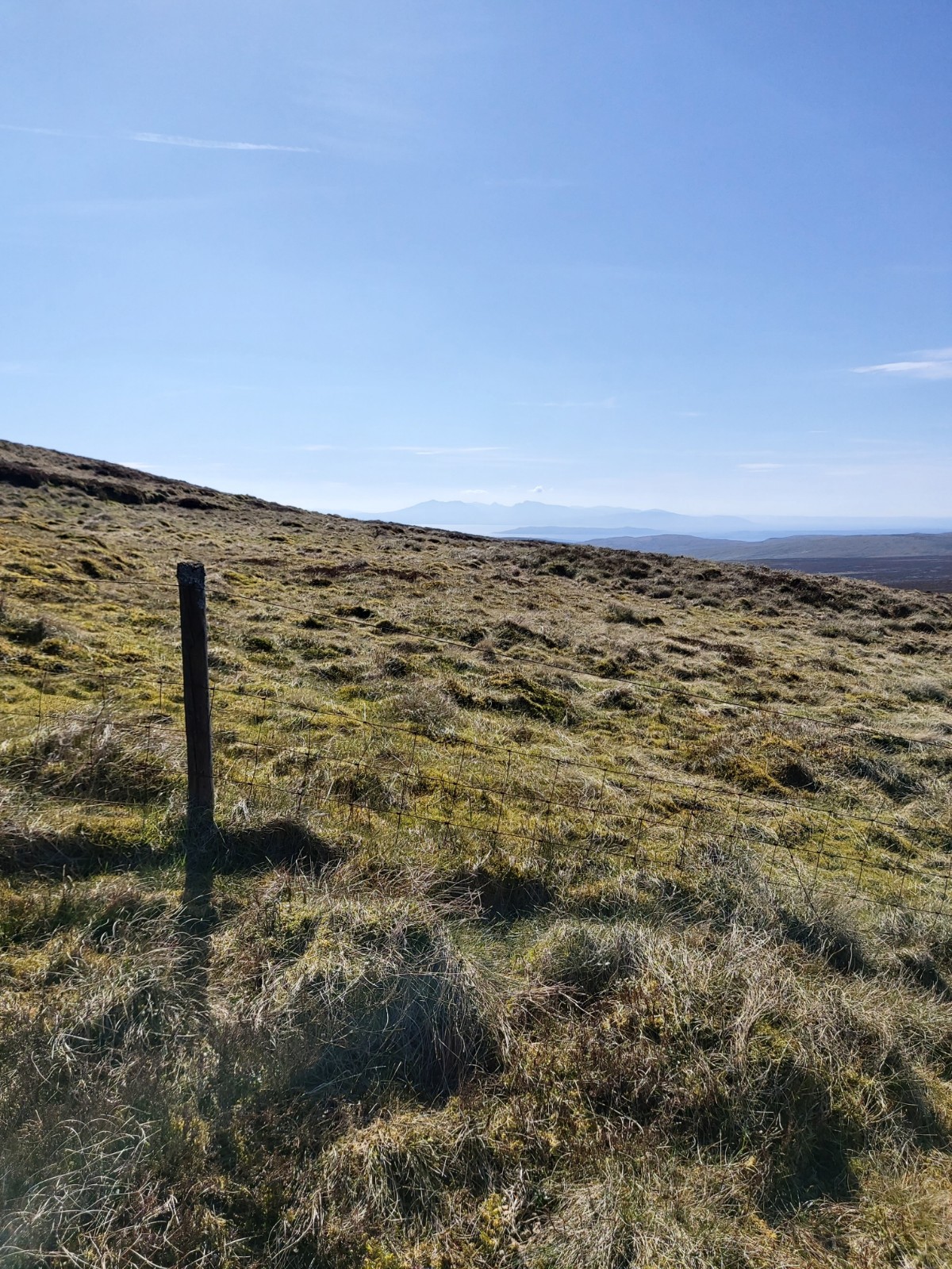
Facing West towards Arran in the distance from Hill of Stake (NW Face) -
Aircraft Crashes in CMRP
Images
Documents
Added by: Clyde Muirshiel Regional Park
21 Oct. 2022
Published in public domain under Creative Commons Attribution ShareAlike 4.0 International license
Hill of Stake is Clyde Muirshiel Regional Park's highest point at 522m. Not huge compared to the highlands, but its isolation from other mountainous areas means a walk to the top on a clear day can offer panoramic views of Ben Lomond & surrounding highlands, the Isle of Arran and Glasgow. Click here to download the route card!
The hill itself and surrounding areas are the site of around 20 aircraft crashes between 1938 - 1958, remnants of which can still be found in the area. The above image is of the northern face of the hills taken from the Queenside Muir south of the former Barytes Mine, and is within the 2014 designated Wild Land Area. Misty Law (510m) is visible from Glasgow & surrounds when looking west, and from this angle is often mistaken for Hill of Stake which is actually nestled behind it as seen in this image.
The hill itself and surrounding areas are the site of around 20 aircraft crashes between 1938 - 1958, remnants of which can still be found in the area. The above image is of the northern face of the hills taken from the Queenside Muir south of the former Barytes Mine, and is within the 2014 designated Wild Land Area. Misty Law (510m) is visible from Glasgow & surrounds when looking west, and from this angle is often mistaken for Hill of Stake which is actually nestled behind it as seen in this image.
Muirshiel Hills
natural
social