

The Garnock Valley was formed during the last Ice Age, by the eroding impact of an enormous glacier interacting with sedimentary and volcanic rocks below it. This left behind rich resources of coal, iron ore, copper, stone, minerals and fertile soils. The geology has shaped the landscape dramatically, from determining the path of the River Garnock to the unique formation of the Ardeer Peninsula. These resources and natural formations have underpinned the success of human settlement and industry in the area since prehistory.

Fading sunset looking over Kilbirnie Loch
This huge variety of landscape characteristics owes its origins to the unique local geology, and in turn has enabled a diverse range of important habitats to evolve. These include the sand dunes of Irvine Bay, which are a vital feeding ground for the increasingly rare small blue butterfly, and the mudflats at the Garnock estuary, which are among the British Biodiversity Action Plan’s priority habitat types.
The local soils and presence of fresh sources of water throughout the area have characterised the main land use of the region, historically and today, as agricultural. Soils were well suited for arable crops such as flax, which led to the huge success of the Garnock Valley’s linen industry. Other land lends itself as pasture for sheep and dairy farming.

Manse Field in Beith with the hills of the Garnock Valley in the background
From the upland hills of the Clyde Muirshiel Regional Park offer stunning views over the whole Garnock Valley and across the Firth of Clyde. High points and coastlines throughout Irvine, Ardeer, Stevenston, Saltcoats and Ardrossan provide beautiful vistas across the Firth of Clyde. The low lying Garnock Valley provides scenic views across Kilbirnie Loch, Castle Semple and Barr Loch, and up towards the valley’s towns and villages. A climb to the top of Killwinning’s famous Abbey Clock tower gives you the most impressive 360° view of the whole area from valley to coast.

Panoramic photograph of Castle Semple Loch to Irvine Bay viewed from Baidlandhill outside Dalry
Throughout the landscape there are miles of footpaths, maintained by local people, North Ayrshire Council and national stakeholders. The long-distance Ayrshire Coastal Path is one of Scotland’s Great Trails, linking places along the coastline. Local trails such as those at Lynn Glen are excellent opportunities to engage with geology, history, nature and local stories. Two of the National Cycle Network routes pass through the area, which include many miles of traffic-free cycle paths, particularly between Castle Semple Country Park and Kilbirnie or Irvine and Kilwinning.
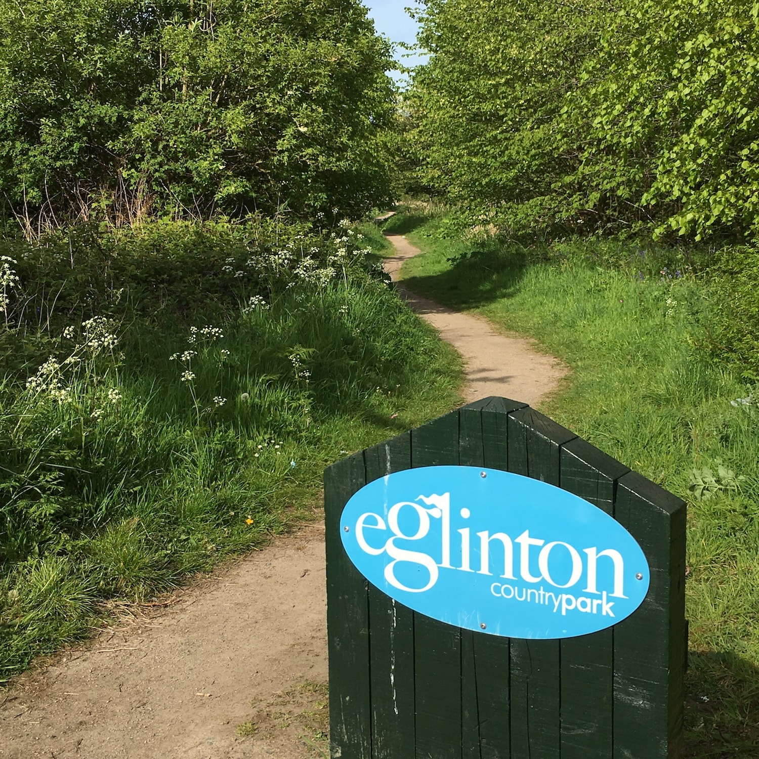
Path leading to Eglinton Country Park